Format: GeoTIFF
These 47 cases are packaged as GeoTIFF.
Use GeoCase in your tests
Install the complete set of vector, raster, and NetCDF dependencies:
 All Valid Rectangular Raster
 Bottom-Up DEM (Positive Y Resolution)
 Bottom-Up Square (Positive E and Nothing Else)
 COG Multispectral Small
 COG Single-Band Small
 CRS Family Pair -- Geographic (WGS 84)
 CRS Family Pair -- Projected (UTM 33N)
 DEM NaN NoData Small
 DEM Small
 GeoTIFF External Overviews Small
 GeoTIFF Float64 Small
 GeoTIFF Int16 Small
 GeoTIFF Int32 Small
 GeoTIFF Int8 Small
 GeoTIFF Multi-Band Small
 GeoTIFF NoData Small
 GeoTIFF NoData Small Shifted
 GeoTIFF UTM Boundary
 Hole Center NoData Raster
 Land Cover With Ambiguous Zero
 Land Cover Small
 Multispectral Mixed Resolution Small
 Multispectral Sentinel-2-like Small
 NDVI Scaled Int16 Small
 NDVI Small
 Nodata Only (One Sentinel, North-Up, Unrotated)
 Nonsquare Diagonal Sparse Raster
 Optical Dateline Small
 Optical Dateline West Small
 Optical Equator Small
 Optical Polar Small
 Optical RGB Small
 Overlap Group -- Centre
 Overlap Group -- North
 Overlap Group -- South
 Pixel-Is-Area DEM
 Pixel-Is-Point DEM
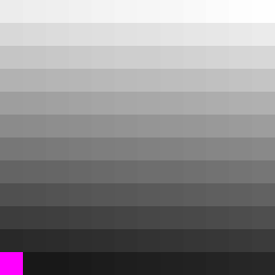 Rotated Bottom-Up DEM (Skew and Positive Y Resolution)
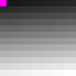 Rotated Raster with Non-Square Pixels
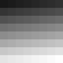 Rotated Square (Rotation and Nothing Else)
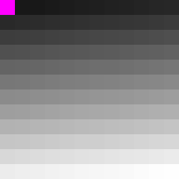 Steeply Rotated DEM (40-Degree Skew)
 Rotated Two Islands Raster
 Rotated Two Islands With Warped Reference
 SAR Dual-Pol Small
 SAR VV Small
 Thin Corridor Shape Raster
 Water Mask Small